iSTAR it's fast and easy-to-use. Once configured, iSTAR can operate by pressing a single button. It is rugged, lightweight and has a small footprint making it easy to transport and deploy. It can be mounted on a tripod, a vehicle or in an aerial configuration to capture high resolution image data for a wide range of applications.
iSTAR has 4 pre-calibrated sensors delivering a 50MP full spherical accurate image with excellent high dynamic range and an impressive EV range of 27 f-stops. A single battery charge is able to offer 80 to 100 panoramas, with capture time being typically 2 to 3 seconds. The optional use of an external battery pack can increase that amount to over 600 allowing iSTAR to last in most cases for the whole day.
Processing and stitching the images is done accurately and precisely through Immersive Studio, the desktop application that was designed to work with iSTAR. Immersive Studio which comes along with the camera hardware, Panorama Images and full 360° video can be batch stitched quickly and automatically and since the system has been designed with integration and compatibility in mind the deliverables can be processed by any alternative stitching software that my already be part of your workflow.
iSTAR has been designed to provide rapid imaging, site documentation and accurate measuring across a variety of applications.
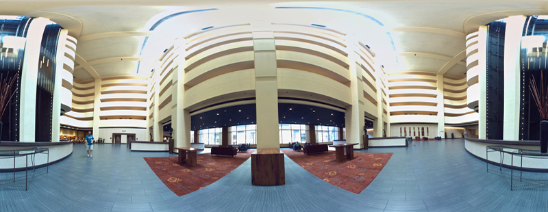
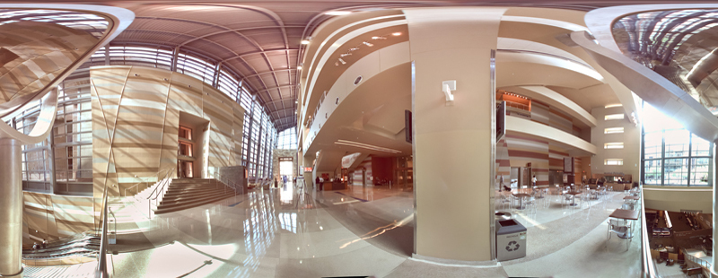
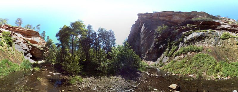
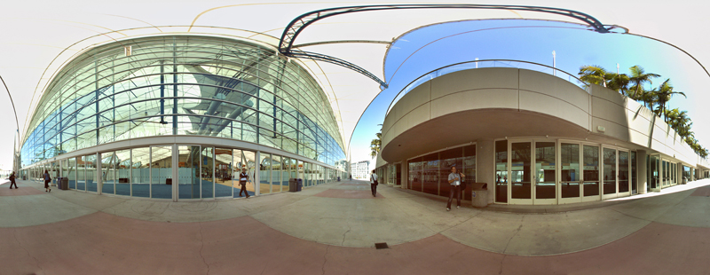
iSTAR has been designed as a highly portable rapid imaging system. It can satisfy the need for fast, accurate HDR data collection and can deliver a fully linked and GEO referenced documentation for construction sites, process plants, architectural and real estate applications.
iSTAR works seamlessly with our Plantview software.
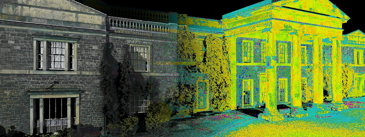
With the help of leading laser scanner manufacturers, iSTAR has gone through extensive optimization in order to be used as a means of bringing color to point cloud data sets with iSTAR height adaptor rods positions the iSTAR's lenses and the nodal point at the exact position as the scanner's mirror which allows for high texture mapping accuracy. iSTAR captures a full spherical image instantly in many cases in under 6 seconds which can be translated in significant savings in time being on-site.
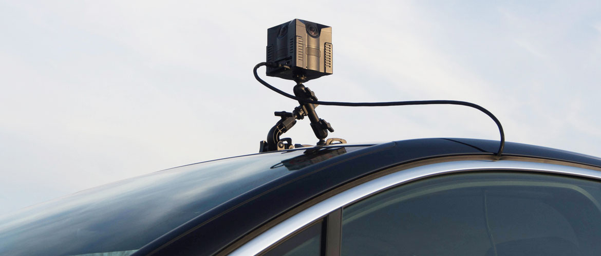
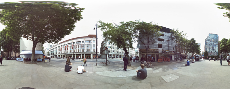
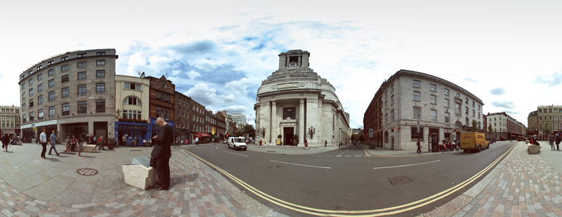
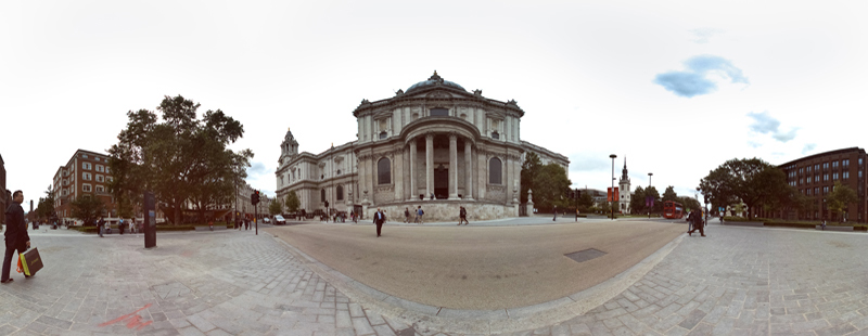
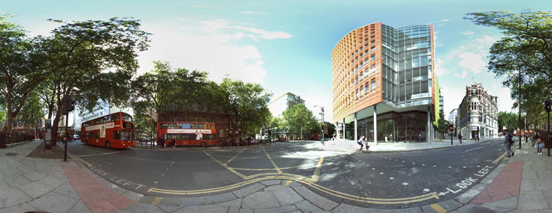
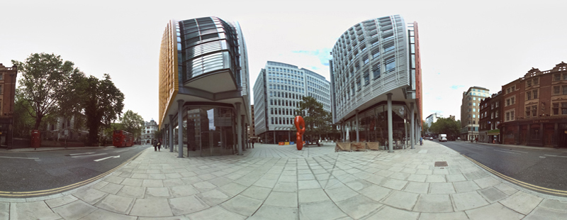
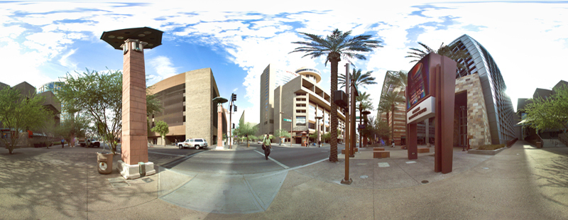
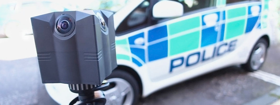
Vehicle mounted or or on a tripod, iSTAR can capture data at multiple frame rates and image resolutions for "Google street-view" like deliverables. Internal sensors record the compass positioning and tilt variations during capture. It is compatible with a wide range of industry standard GPS and high end IMU receivers to record the position and location of the data captured. Thanks to the available SDK, iSTAR can easily be integrated to work in conjunction with various lidar scanners and GPS positioning systems.
For surveillance and mobile capture applications, iSTAR can record full spherical image streams at a high frame rate and at high resolution. Post processing of data is fast and image stitching happens in near real time which makes it ideal for continuous documentation, remote monitoring or even promotional and media uses.